
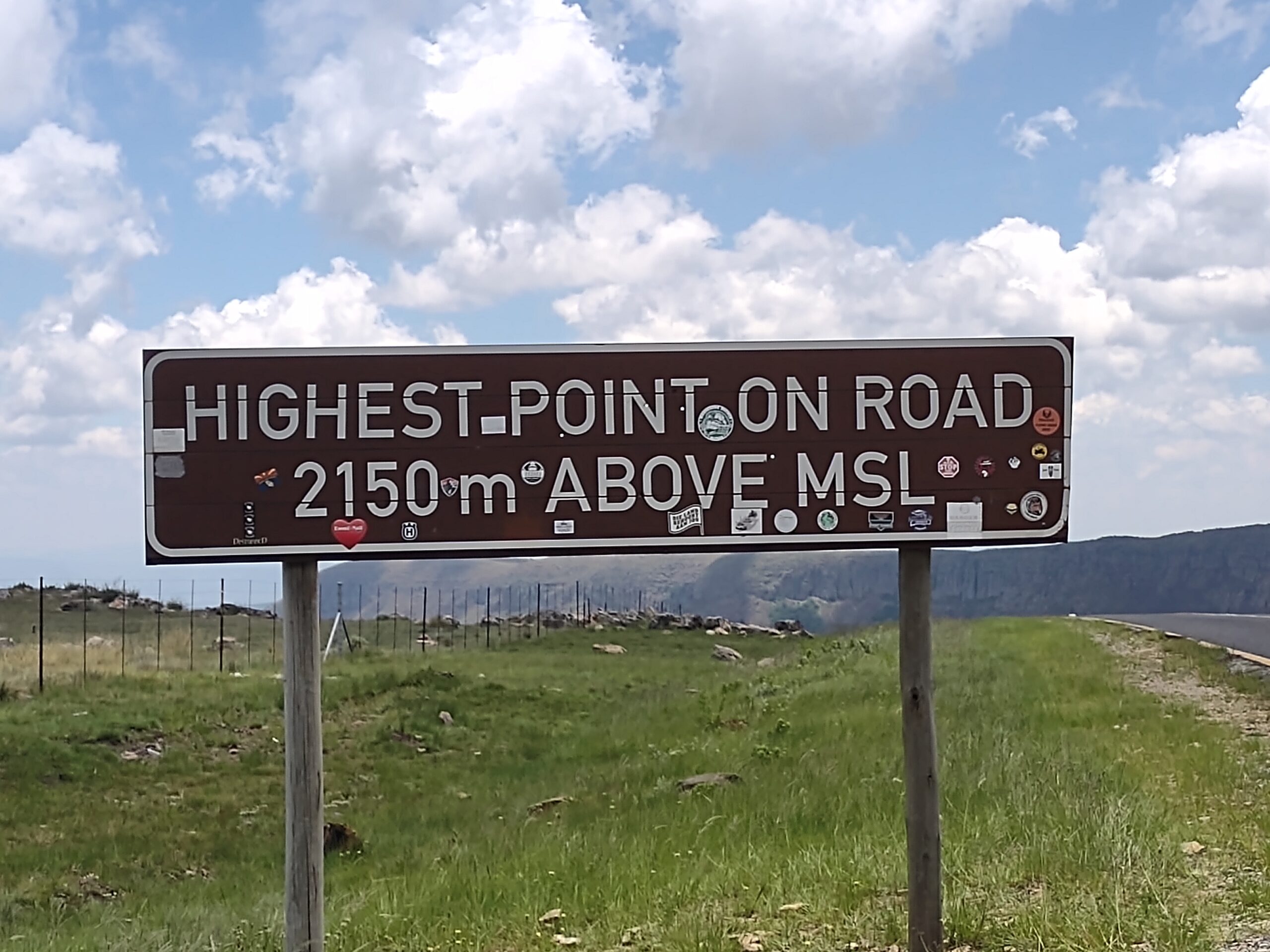
Heading north from Dullstroom, our next destination was Sabie. We traded trout farms for trees as Sabie is a forestry town situated on the banks of the Sabie River in Drakensberg (Dragon Mountain) escarpment of the Mpumalanga province. The name Sabie is derived from the siSwati word “Ulusaba” which means “fearful river” because the river was once teeming with dangerous Nile crocodile.
Before getting to Sabie, one must cross the Long Tom Pass. The route up Long Tom Pass starts at 1456m (4,777 ft.) and climbs 682 vertical meters (2,237 ft.) to an altitude of 2138m (7,014 ft.) at its end. The summit of the pass lies at an altitude of 2150m. The pass is prone to heavy mist and can be dangerous in low visibility conditions, which we experienced firsthand.
A monument commemorating the last use of the Boer 155 mm Creusot Long Tom guns during the Second Boer War, is in the pass. It is a beautiful drive, and we stopped several times in remote areas to enjoy the view and clean air. The ultimate pitstop was as Hops Hollow, the highest microbrewery on the African continent!


You must be logged in to post a comment.